Illustration

More Payloads
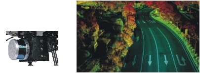
Airborne LiDAR System
(for agriculture; topographics; electricity; forestry; land management; immediate response; disaster analysis, etc.)
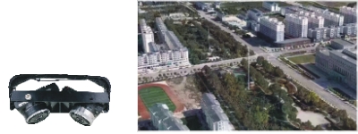
Integrated Multi-lens Camera System
(for 3D cartography; manufacturing; architecture, engineering & construction; defense, intelligence & homeland security; media, entertainment & e-commerce; resources & energy; cultural heritage; scientific analysis, geology & forensics; immediate response, disaster relief & analysis)
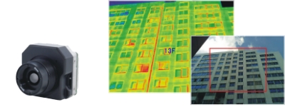
Infrared Thermal Imager
(for night-vision tracing; rescue operation; power line inspection; environmental protection; agriculture; farming; fishing; forestry, etc.)
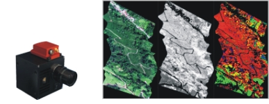
Hyperspectral Imaging Camera
(for vegetation research; farming; forestry; geology; environment; hydrology; bathymetry, etc.)
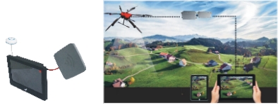
Digital Wireless Video Transmitter
(for remote command; traffic control; immediate response; emergency relief; live broadcasting, etc.)
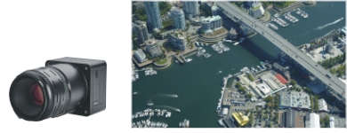
Ultrahigh Resolution (100MP) Camera
(the forefront of aerial photography for the ultimate image quality, top solution for aerial mapping)